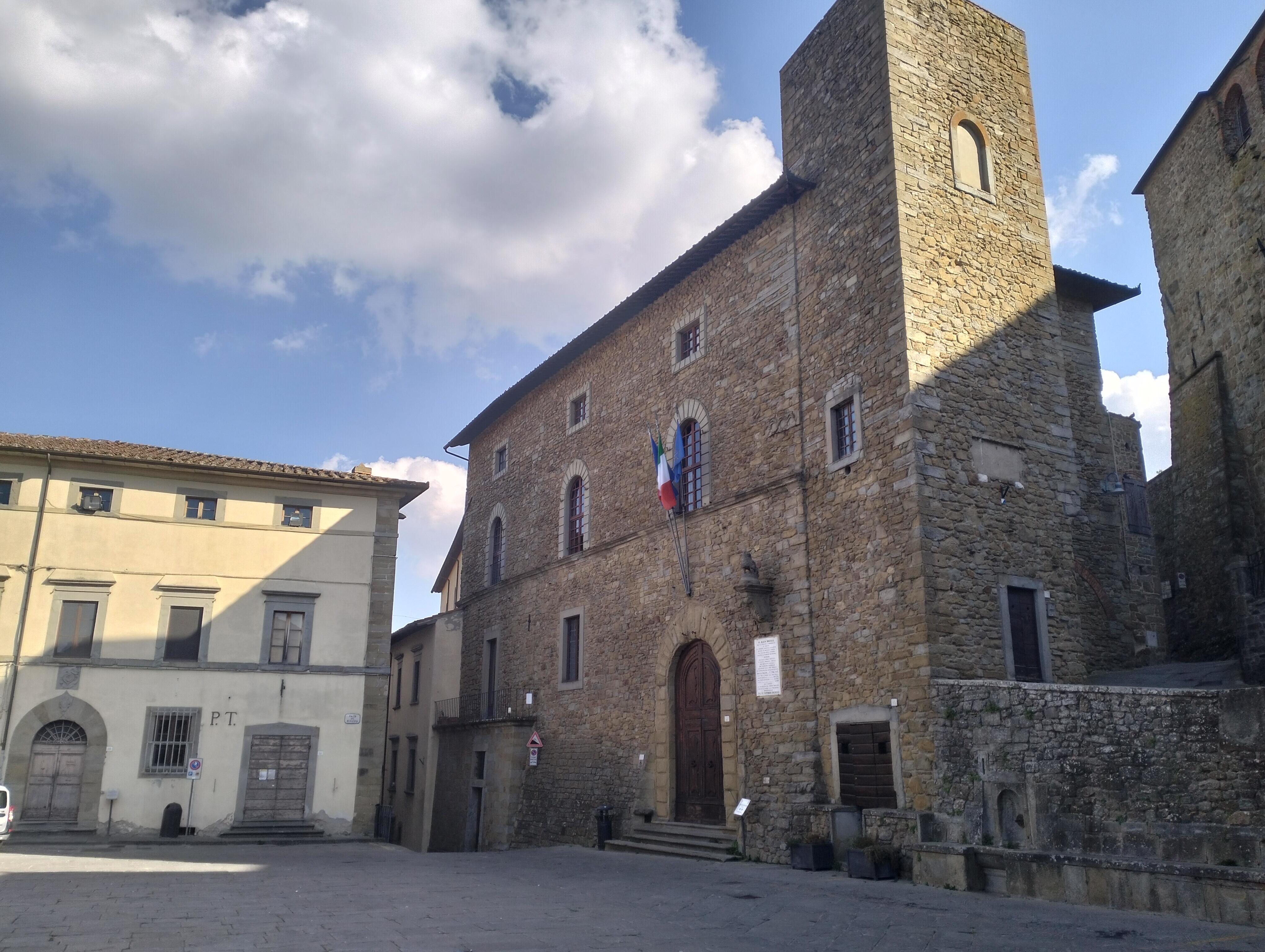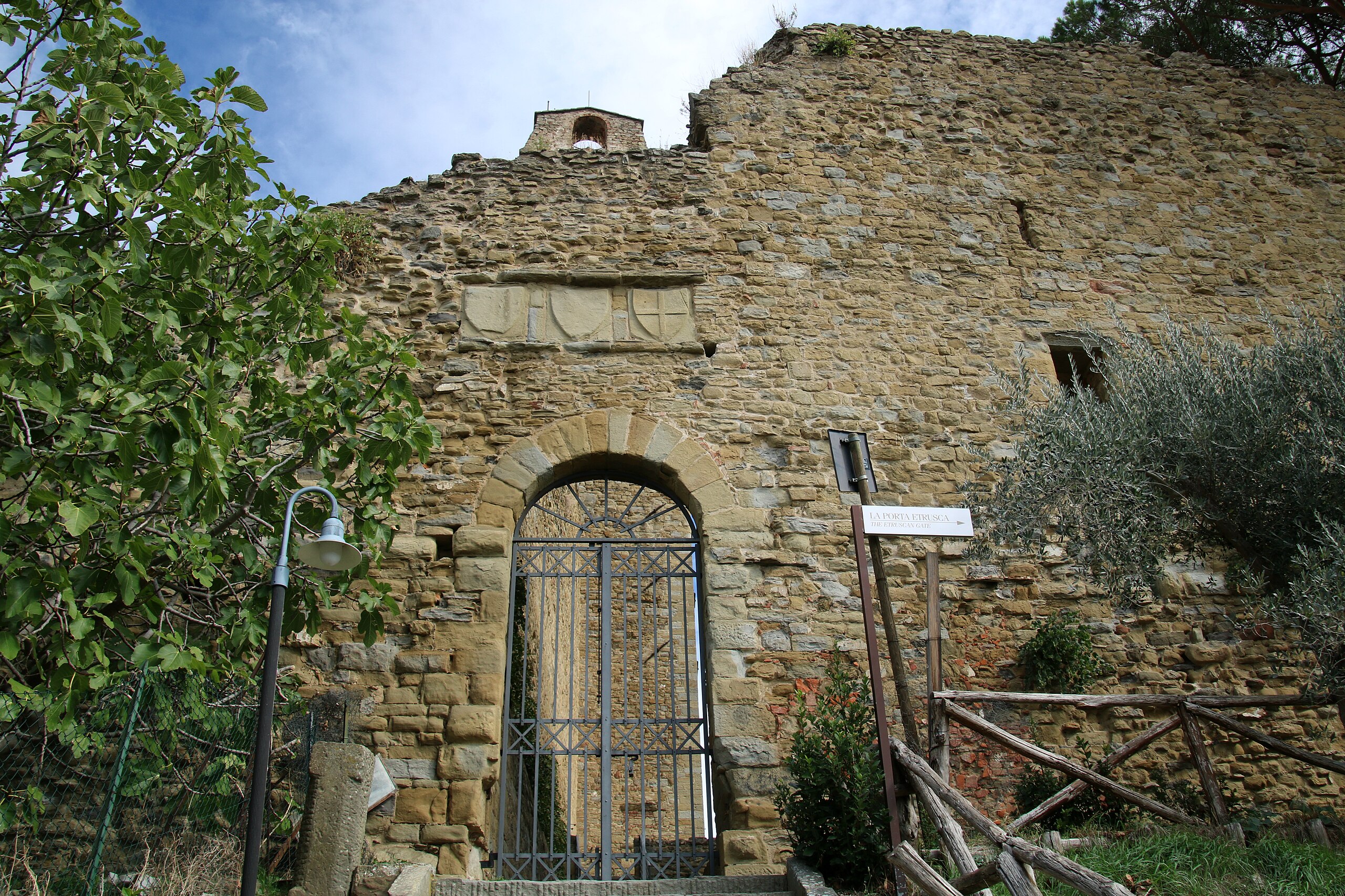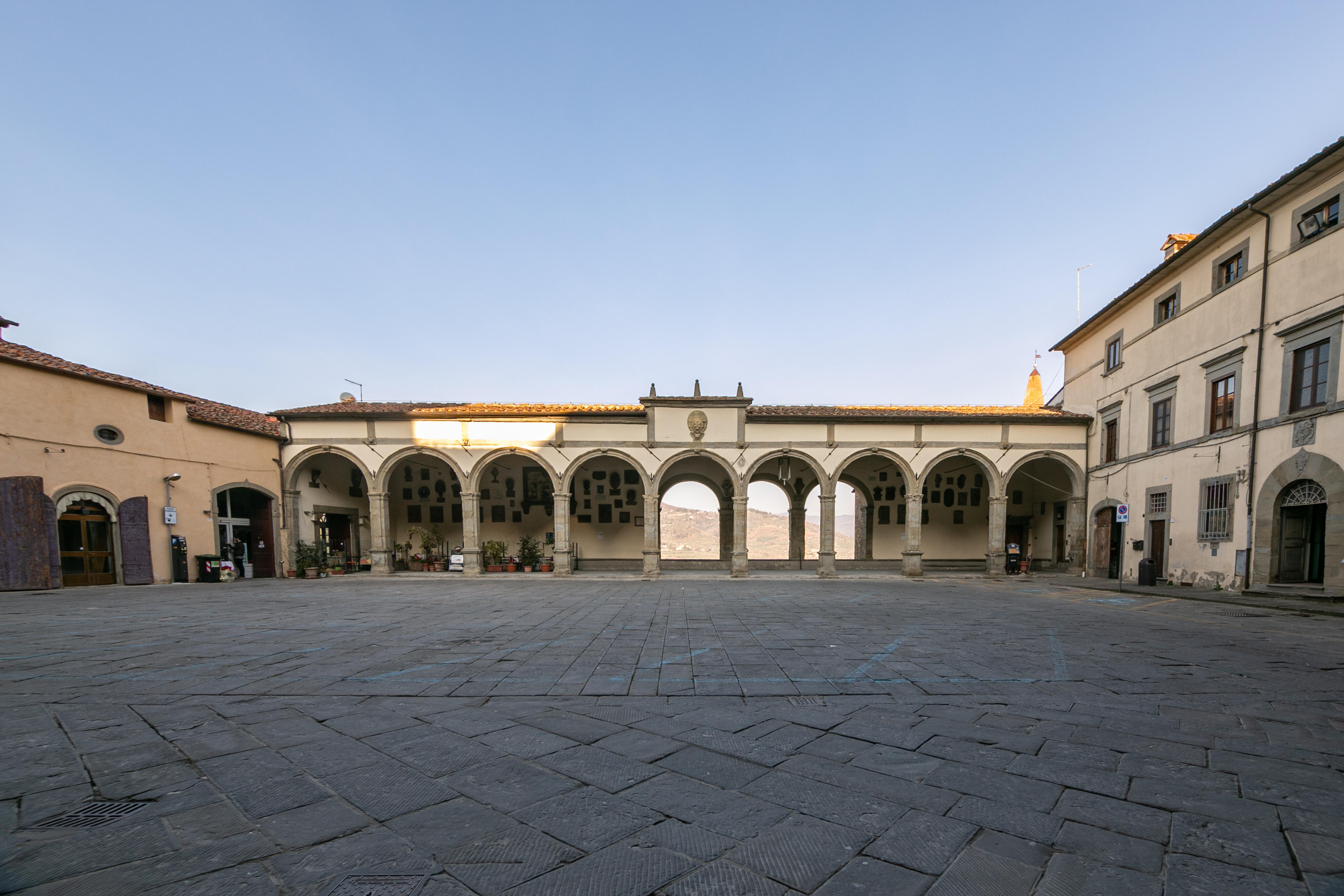

 ITA
ITAMore information :
Along the Canale Maestro della Chiana, you can follow an equipped cycling and walking path of about 62 km that connects Arezzo to Chiusi. This route is of great historical and landscape value, allowing visitors to admire the environment and hydraulic structures that stand as evidence of the great reclamation project of the Val di Chiana.
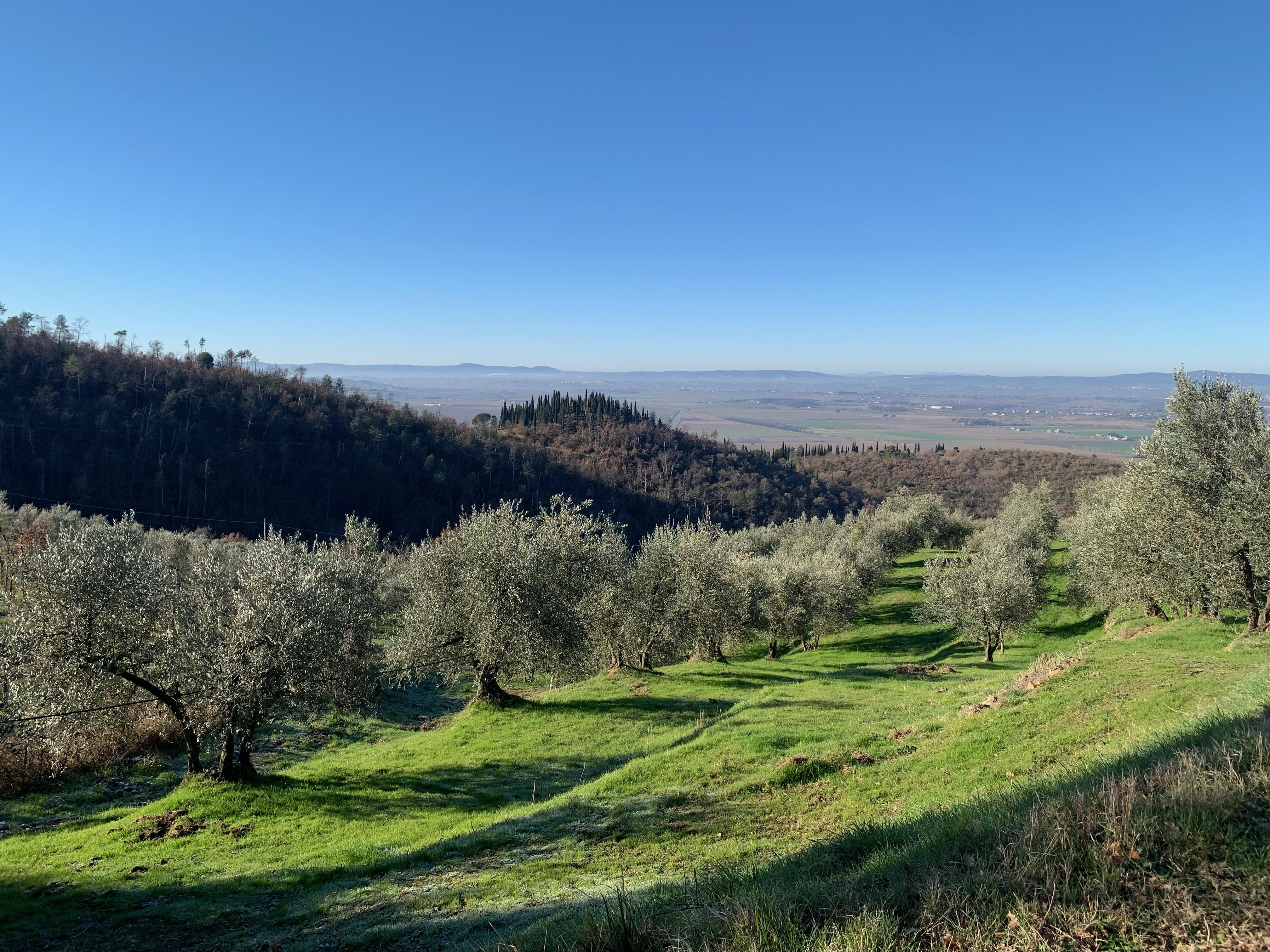
The landscape you see today in the Valdichiana is the result of both ancient geological events and the significant impact of human activity. Since historical times, people have left an indelible mark on the area by modifying its hydrographic system to make the most of its natural resources.
In Etruscan-Roman times, the wide valley was crossed by the ancient Chiana River (Clanis), which flowed—navigable—from north to south, via the Paglia River, toward the Tiber. Historical sources describe a fertile, prosperous, and vibrant valley, crossed by important communication routes due to its central and strategic position.
In the late ancient period and early Middle Ages, the valley began to undergo gradual marsh formation. This was caused by the region’s low slope and the abandonment of necessary maintenance of the hydrographic network during the economic and demographic crisis of the 5th–6th centuries. This phenomenon reached its peak after the year 1000. During this time, the Val di Chiana lost its role as a hub, and new important routes developed in surrounding territories.
However, local communities—including Castiglion Fiorentino—managed to adapt to what nature offered, shifting toward an economy based on fishing, hunting, harvesting wetland vegetation, and, as in Roman times, river navigation.
Starting in the 14th century, the municipalities of Arezzo, Florence, and Siena began undertaking interventions to counter the marshland. Chief among these was the digging of the fossatum novum near Arezzo—the first stretch of what is now the Canale Maestro della Chiana.
In 1503, the marshland was masterfully represented by Leonardo da Vinci in his famous "bird's-eye view" drawing. A few years later, the Medici, under Cosimo I, initiated the real reclamation of the Val di Chiana. With control over the entire valley, Florence could negotiate agreements with local towns to drain the swamp. The Florentines became landowners but granted the local communities one staio of wheat (about 20 kg) for every staiore of reclaimed land (approximately 1500 m²).
The methods used to drain this vast marshland—about 50 km long and 3 km wide in the 1500s—were the subject of heated debate among the era’s greatest scientists (Leonardo da Vinci, Galileo Galilei, Evangelista Torricelli, and others). The debate lasted over three centuries and centered on two main strategies: reclamation by drainage or by sediment filling (colmata).
Reclamation by drainage involved excavating artificial canals to divert water into natural watercourses.
Reclamation by sediment filling meant using natural watercourses to gradually fill depressed areas with sediment-rich runoff—these enclosed areas were called colmata. One such colmata still exists today in the Brolio area of Castiglion Fiorentino.
These two techniques, which were often complementary, saw varying degrees of success over time. Between the late 16th and early 17th centuries, the Canale Maestro della Chiana was excavated from Pieve al Toppo to the Chiaro (lake) of Montepulciano.
Under the rule of the Lorraine family in the 18th and 19th centuries, and thanks to the work of Grand Duke Pietro Leopoldo, the Aretine mathematician and hydraulic engineer Vittorio Fossombroni (a strong supporter of colmata) and his successor, engineer Alessandro Manetti of Florence (who advocated a compromise between the two methods), the drainage of the Val di Chiana was essentially completed: the course of the Chiana River was reversed, and the entire valley now drains into the Arno River.
Some final works were completed in the 20th century, such as the redirection of the Castiglionese streams into the Canale Maestro della Chiana in 1931 and 1933. These streams had previously been used to fill the plains of Castiglion Fiorentino and Montecchio and were diverted by means of a new connecting channel (Allacciante dei Rii Castiglionesi, an extension of the Vingone Stream) that now runs through a tunnel under the Brolio hill.